The weather systems that will likely affect the whole country are the easterlies, intertropical convergence zone (ITCZ), frontal system, low pressure area (LPA), and localized thunderstorms.
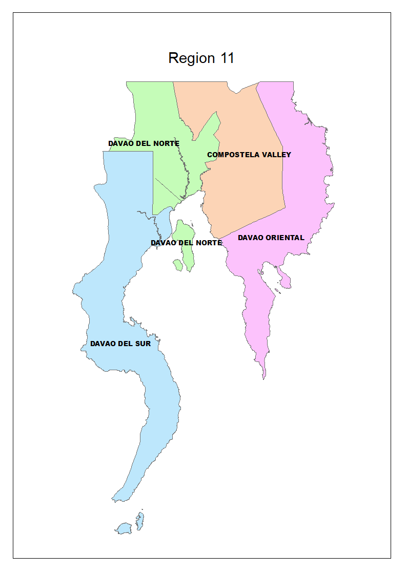
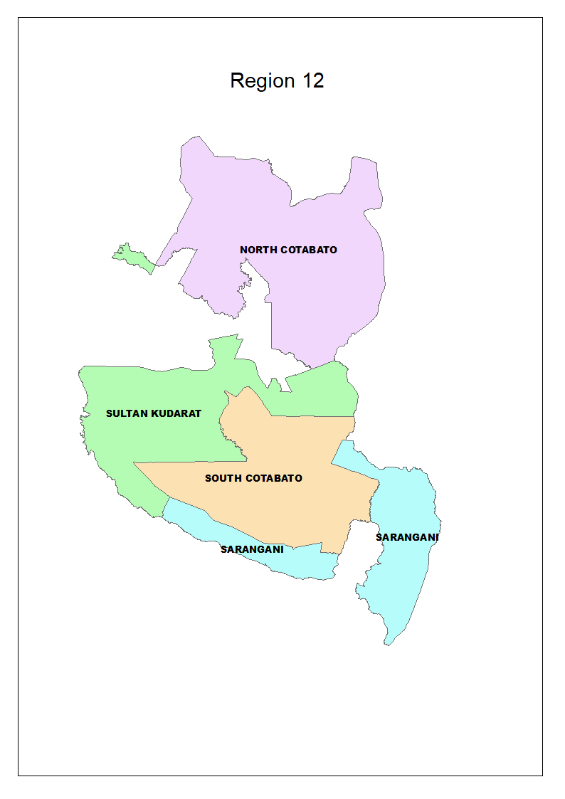
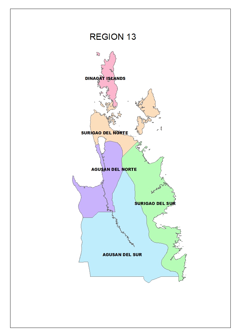
During the first half of the dekad, mostly cloudy skies with scattered rains and thunderstorms are expected over Davao Region, Zamboanga Peninsula, and southern portion of Mindanao while the rest of the country will experience partly cloudy to cloudy skies with possible isolated rainshowers or thunderstorms, particularly in the eastern section of the country. After this, Quezon province, Bicol Region, Eastern Visayas, and Caraga will have cloudy skies with scattered rainshowers and thunderstorms while the remaining parts of the country will generally have fair weather condition except for some cases of localized rainshowers or thunderstorms. During the latter part of the dekad, Davao Region, Zamboanga Peninsula, and SOCCSKSARGEN will experience cloudy skies with rains and thunderstorms. The rest of the archipelago will have warm and humid weather conditions with possible localized rainshowers or thunderstorms, particularly in the eastern part of the country.
During the first half of the dekad, winds coming from the southeast will prevail over the eastern section of Luzon while the remaining parts of Luzon will have winds from the southwest to north. The rest of the country will have winds from the east to northeast. After this, northeasterly wind flow will gradually prevail over the Northern and Central Luzon while the remaining parts of the archipelago will have winds from the east to northeast. During the latter part of the dekad, winds from the east to southeast will prevail over Northern Luzon while the rest of the country will experience winds from the east to northeast.
Slight to moderate seas will prevail over the whole archipelago throughout the forecast period.
ENSO ALERT SYSTEM STATUS: INACTIVE (Updated: 04 2025)
Recent DOST-PAGASA’s climate monitoring and analyses show that La Niña conditions are no longer present in the central and equatorial Pacific (CEEP). The sea surface temperature anomalies (SSTAs) reached ENSO-neutral levels. La Niña-like patterns of above normal rainfall in some parts of Luzon, most parts of Bicol, eastern Visayas and northeastern Mindanao are not likely to linger, as noted in the forecasts. With this development, DOST-PAGASA ENSO Alert and Warning System Status is “INACTIVE” (El Niño or La Niña conditions are not observed or expected to develop in the tropical Pacific within the next three (3) months) and ENSO-neutral condition is favored until September - October-November 2025 season.
DOST-PAGASA will continue to closely monitor the La Niña conditions and updates will be issued accordingly. Meanwhile, the concerned government agencies and the general public are encouraged to stay updated and use the information for guidance and anticipatory action. https://pubfiles.pagasa.dost.gov.ph/climps/climateforum/outlook.pdf
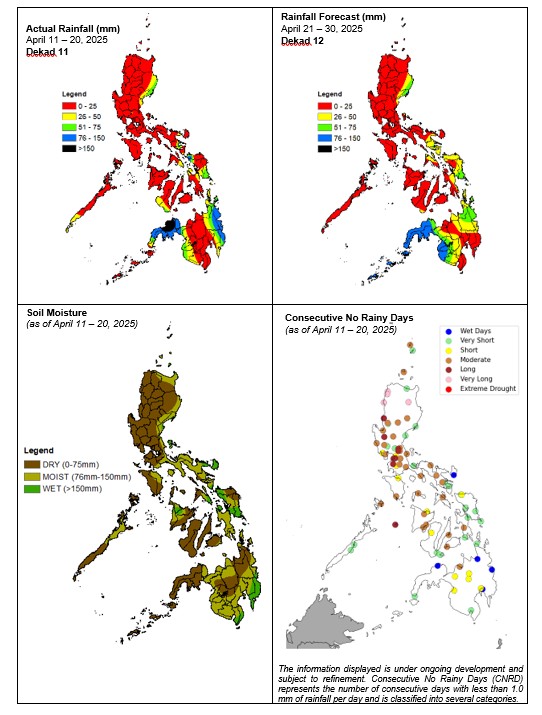
| ACTUAL SOIL MOISTURE CONDITION (April 11 – 20, 2025) |
||
| WET | MOIST | DRY |
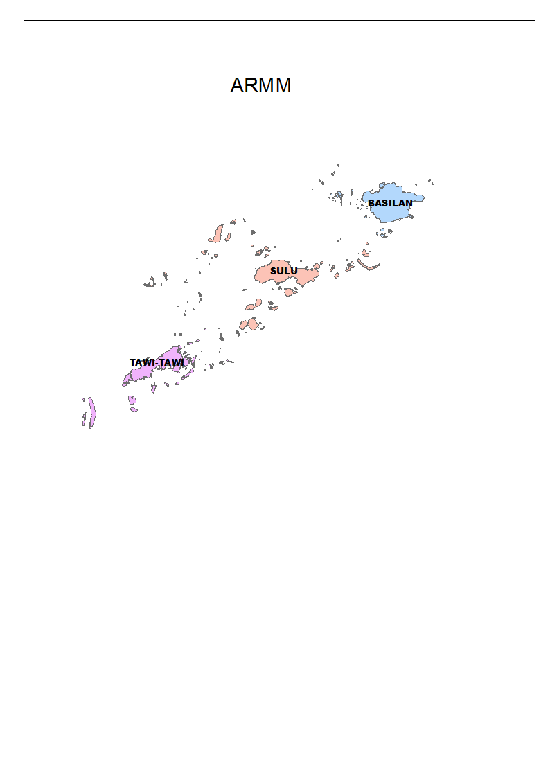
| Baler, Catanduanes, Eastern Samar, Northern Samar, Samar, and Surigao del Sur | Batanes, Casiguran, Quezon, Oriental Mindoro, most parts of Bicol Region, rest of Eastern Visayas, most parts of Northern Mindanao, Davao Region, SOCCSKSARGEN, Surigao del Norte, and BARMM |
Rest of the country |
FARM ADVISORIES:
Dry spell causes internal water stress in crop plants and likely reduces their productivity. Prolonged water stress leads to the possible death of the plants. Short water stress (hardening) is also good to growing crop because it normally increases the root length. The ratio of the leaf to stem is decreased in vegetables during water stress. However, water stress often leads to decrease in leaves and the crop maturity is delayed, if the stress occurs during the vegetative stage. Irrigation is essential to ensure successful crop production in water stressed farms or regions. Selection of drought resistant plants or drought tolerant cultivars reduces the effect of water stress on crops during dry season.
FARM ADVISORIES / UPDATES
* DA, Swine Industry agree on stricter implementation of pork MSRP
Author: DA Press Office | 21 April 2025
The Department of Agriculture (DA) and swine industry stakeholders have agreed to intensify the enforcement of the maximum suggested retail price (MSRP) on pork, with the private sector pledging to police its ranks and prevent profiteering at the expense of consumers.
The renewed commitment followed a consultative meeting held Monday, April 14, after DA market inspections conducted since early April revealed alarmingly low compliance—fewer than 10 percent of sellers were found adhering to the MSRPs.
Under current DA guidelines, the MSRP is set at P300 per kilo for freshly slaughtered carcass, P350 per kilo for pigue (leg/ham) and kasim (shoulder), and P380 per kilo for liempo (pork belly).
Agriculture Undersecretary for Livestock Dante Palabrica underscored the need to uphold the gentleman’s agreement reached in earlier consultations to avoid implementing more disruptive market interventions.
He noted that the MSRPs aim to strike a fair balance between the interests of producers, traders, retailers, and consumers—especially in light of continued inflationary pressures.
As part of longer-term solutions, Palabrica also announced the rollout of a P1-billion swine repopulation program, recently approved by Agriculture Secretary Francisco P. Tiu Laurel Jr. The initiative will distribute around 30,000 gilts to large farms, which will, in turn, repay the government by providing reared pigs for distribution to backyard farmers.
Secretary Tiu Laurel has previously called on the swine industry to back the government’s three-year plan to rebuild the national hog inventory to its pre-African Swine Fever level of 14 million heads by 2028, up from the current estimate of around 8 million.
To further stabilize pork prices, the DA’s Food Terminal Inc. has begun purchasing 500 pigs daily from large farms and delivering them directly to slaughterhouses. The move is intended to ensure consistent supply and reinforce compliance with the established MSRPs. ###
Source:
* https://www.da.gov.ph/da-swine-industry-agree-on-stricter-implementation-of-pork-msrp/
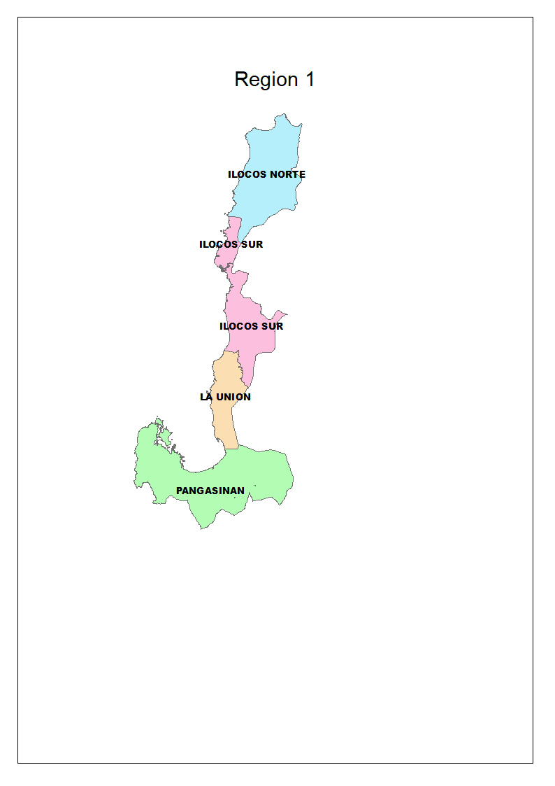
Region 1 Ilocos Region
Forecast Rainfall (mm):
0 – 10
Rainy Days (0.1mm or more):
0 - 3
Actual Soil Moisture Condition:
n/a
Range of Relative Humidity (%):
40 – 96
Min - Max Temperature (°C):
21 – 38
Crop Phenology, Situation and Farm Activities:
Land and seedbed preparation is in progress. Most rice and corn are in vegetative and maturing stages. Harvesting of matured rice and corn are still being done. Corn are in vegetative stage. Growing of lettuce, mushroom, mung bean, okra, garlic, onion, patola, pechay, carrot, potato, squash, ampalaya, cassava, chayote, chili pepper, ginger, malunggay, kangkong, mustard, string bean, sweet pepper, sweet potato, taro, ubi, upo, winged bean, peanut, soybean, tobacco, papaya, avocado, banana, coconut, coffee, guava, dragon fruit, guyabano, jackfruit, and mango continues. Harvesting of garlic, peanut, okra, onion, onion leeks, pechay, camote tops, radish, spinach, squash, string bean, sweet pepper, sweet potato, talinum, taro, tomato, winged bean, chili pepper, long pepper, eggplant, ginger, kangkong, lettuce, malunggay, mung bean, mustard, avocado, banana, watermelon, star apple, papaya, coconut, calamansi, and mango is in progress. Drying and milling of harvested rice are ongoing. Drying and harvesting of tobacco are taking place. Watering activities, fertilizer application, nutrient management, spraying, and cleaning of farm areas are being done. Delivery of fresh produce to the market is also taking place.
Prepared By:
RAAM
Checked
MEVT
Approved
TAC
Uploaded
ARL

